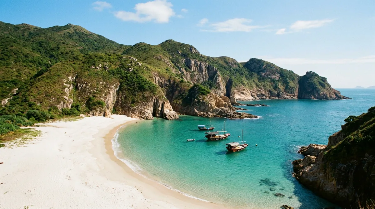
Illustration: Yum Cha Now, AI-generated. It sets the scene and is not a photograph of the venue.
An hour from Central, past the last tower block, the ground turns into something else: a wall of stone columns, hundreds of them, packed together like a bundle of pencils standing on end. They are 140 million years old. They are also, by a wide margin, the most extraordinary thing in Hong Kong, and most people who live here have never seen them.
This is the guide to the Hong Kong UNESCO Global Geopark (香港聯合國教科文組織世界地質公園): what it is, which bits are worth the trip, and how to actually get there.
In This Guide
- What is the Hong Kong Geopark?
- The hexagonal columns: why they matter
- High Island Geo Trail & the East Dam
- Sharp Island: the tombolo and Pineapple Bun Rocks
- Tung Ping Chau: the youngest rock in Hong Kong
- The other half: villages, temples and Lai Chi Wo
- Planning your trip: when to go, what to bring
- FAQ
What is the Hong Kong Geopark?
It is not a park in the way Hong Kong Park is a park. There is no gate, no ticket and no opening time. The Hong Kong UNESCO Global Geopark is a designation laid over roughly 15,000 hectares of eastern Hong Kong (country parks, coastline and islands) recognising a landscape of international geological importance.
It splits into two halves. The Sai Kung Volcanic Rock Region is the dramatic one: columns, sea arches, sea caves. The Northeast New Territories Sedimentary Rock Region is the subtler one, all layered shale and eroded coast. Between them they hold a geological record spanning more than 370 million years, from the Devonian to the Paleogene: a river delta, then a shallow sea, then a landscape of erupting volcanoes, then a tropical lagoon.
Hong Kong Geopark joined the Global Geoparks Network in 2011 and was renamed a UNESCO Global Geopark in 2015. UNESCO's own description calls it a "Geopark in the City", and that is the whole point. Roughly 50,000 people live inside it, and it is about an hour from one of the densest financial districts on earth.
The hexagonal columns: why they matter
Here is the part worth understanding before you go, because it changes what you are looking at.
Hexagonal rock columns exist elsewhere: Giant's Causeway, Fingal's Cave. Almost all of them are dark-grey basalt, low in silica. Hong Kong's are not. The High Island Formation is light-coloured rhyolitic volcanic rock, rich in silica, which makes it globally rare. Same shape, wrong chemistry, and that is the interesting bit.
The scale is the other shock. The columns spread over about 100 square kilometres of land and seabed across High Island, Kau Sai Chau, Jin Island, the Ung Kong Group and the Ninepin Group. They average 1.2 metres across, some reach three metres, and their exposed height runs up to 100 metres.
How they got there: about 140 million years ago a large volcano erupted in what is now southeast Hong Kong, spewing ash and lava before collapsing into a caldera roughly 20 kilometres across. The material trapped inside cooled slowly, contracted, and cracked into hexagons. In 2022 the Agriculture, Fisheries and Conservation Department announced the formation had been named one of the First 100 IUGS Geological Heritage Sites: the same list as the Grand Canyon and Uluru.
High Island Geo Trail & the East Dam
If you do one thing, do this. The High Island Reservoir East Dam in Sai Kung East Country Park is where the columns come right down to the road, and where the High Island Geo Trail lets you walk along their base.
You get the sheer wall, the famous S-shaped bend where the columns buckle, a sea cave and the dolosse: the giant concrete jacks piled against the dam. It is short, it is mostly flat, and it does not require you to be a hiker.
High Island Geo Trail & East Dam
The single best view of the hexagonal columns, reachable without a boat. Short, flat and spectacular: the trail runs along the base of a 100-metre wall of rhyolite.
The catch: public transport to the East Dam is limited and services vary by day. Confirm the current minibus timetable before you set out, and agree a return with your taxi driver. There is nothing out there.
The alternative is water. Boat tours from Sai Kung run out to the sea arches, sea caves and the Ninepin Group, which is the only way to see the columns from the sea and the only way to reach the outer islands at all. It is also, frankly, the better photograph.
Sharp Island: the tombolo and Pineapple Bun Rocks
Sharp Island (橋咀洲) is the easy one: a short ferry from Sai Kung town, and the geopark site you can do with children or a hangover.
Two things to see. First, the Pineapple Bun Rocks: large boulders of rhyolite and granite whose cracked, crusted surfaces look uncannily like Hong Kong's most famous bakery item. This is not a tourist-board invention. It is the actual name, and the resemblance is ridiculous.
Second, the tombolo: a natural causeway of sand and shingle that emerges at low tide, letting you walk across to the islet of Kiu Tau and climb it for a view over the Sai Kung inner sea and the Clearwater Bay peninsula. At high tide it is underwater, and you are not walking anywhere. There is swimming here too: see our guide to Hong Kong's best beaches for the rest of the coast.
Tung Ping Chau: the youngest rock in Hong Kong
The other region, and the harder trip. Tung Ping Chau (東平洲) sits far out in Mirs Bay and holds the youngest rock formation in Hong Kong: shale, a fine-grained sedimentary rock, laid down in thin layers and now exposed along the whole coast.
The Ping Chau Country Trail loops roughly 6 kilometres around the island past the significant geosites, taking in wave-cut platforms, layered cliffs and some of the strangest coastal erosion in the territory. It is flat, but it is exposed.
The complication is access: ferries to Tung Ping Chau are limited and generally weekend-only, and the island is a long way from anywhere. Check the current timetable, go early, and know when the last boat leaves. This is not somewhere to improvise. If that sounds like a lot, our Tap Mun day-trip guide covers a gentler version of the same idea.
The other half: villages, temples and Lai Chi Wo
The geology gets the billing, but people have lived in this landscape for centuries and the geopark protects that too. Hakka villagers and fishing families still maintain their own customs, festivals and architecture inside it.
Worth knowing: the Tin Hau Temples at Kat O and Leung Shuen Wan, and the Hip Tin Temple, are significant heritage buildings in their own right. On Kat O, an island believed to sit on a "dragon vein", residents still hold the Da Jiu Festival. And Lai Chi Wo, a walled Hakka village brought back from near-abandonment, was recognised in the 2020 UNESCO Asia-Pacific Awards for Cultural Heritage Conservation.
Two more have been decorated: Hung Shing Temple on Kau Sai Chau took the Outstanding Project Award at the 2000 UNESCO Asia-Pacific Awards, and St Joseph's Chapel on Yim Tin Tsai won an Award of Merit in 2005. The rocks are older, but the villages are the reason it still feels alive.
Planning your trip: when to go, what to bring
When: October to March. The air is dry, the visibility is good and you are not walking an unshaded dam in 33°C with 90% humidity. Summer is doable early in the morning, but boat trips are hostage to the typhoon season.
What to bring: more water than you think, sun protection, proper shoes and cash. There are no shops at the East Dam and nothing at all on the outer islands. If you would rather be on the water than beside it, our best outdoor activities guide covers kayaking and the rest.
Which geopark site is right for you?
| Site | Region | Effort | Best for |
|---|---|---|---|
| High Island East Dam & Geo Trail | Sai Kung Volcanic | Easy · half-day | The columns, up close |
| Sharp Island (橋咀洲) | Sai Kung Volcanic | Easy · half-day | Families, tombolo, swimming |
| Boat tour: sea arches & Ninepin Group | Sai Kung Volcanic | Easy · half-day | Photographs, outer islands |
| Tung Ping Chau (東平洲) | NE New Territories Sedimentary | Committed · full day | Shale coast, 6km trail |
| Lai Chi Wo & Kat O | NE New Territories Sedimentary | Committed · full day | Hakka heritage, villages |
Hong Kong Geopark: your questions answered
The verdict
Hong Kong sells itself on skyline. The better story is that you can leave that skyline at nine in the morning and be standing, by lunchtime, at the foot of a hundred-metre wall of rock that a volcano made before there were flowers on earth, and it will cost you a bus fare.
Start with the East Dam. Do Sharp Island with anyone who needs persuading. Save Tung Ping Chau for the autumn, when you have a whole day and the air is clear. Then pair it with our best hikes in Hong Kong and Sai Kung day-trip guide, and you have most of the good half of this city covered.
Explore More of Hong Kong
Islands, trails, ferries and the trips worth the early start: YumChaNow maps the city beyond the skyline. Subscribe for the weekly guide.