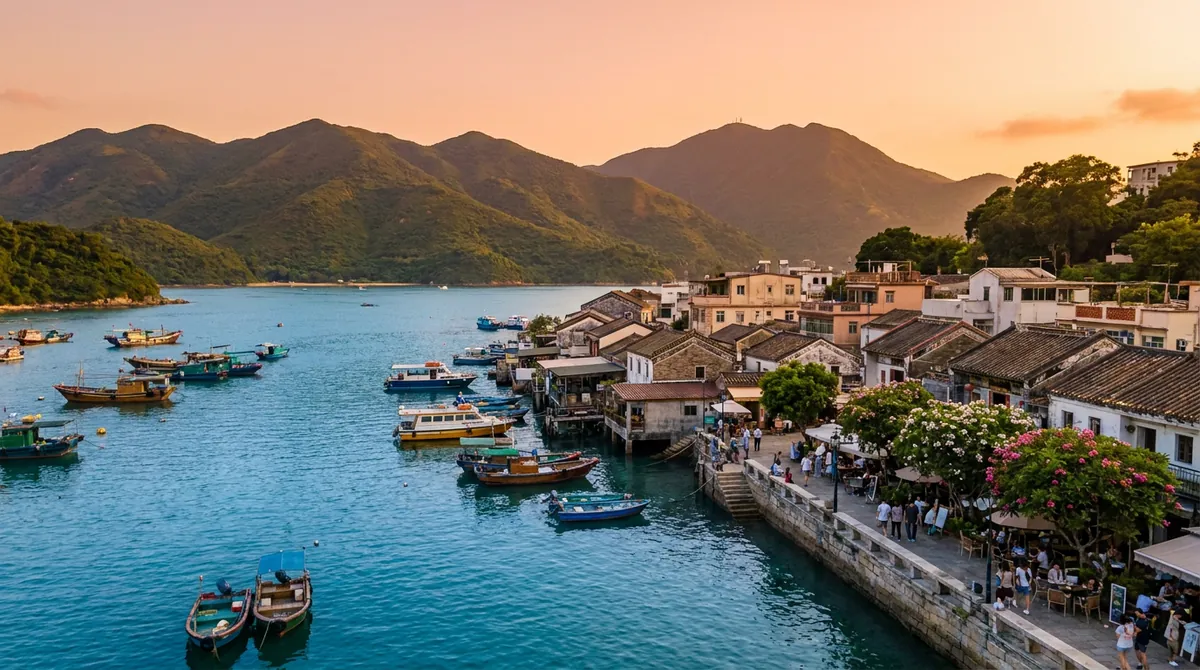
Illustration: Yum Cha Now, AI-generated. It sets the scene and is not a photograph of the venue.
There is a particular silence you find on Hong Kong's trails, not an absence of sound, but a different quality of it. The city is always there, a low murmur below the ridge, a smudge of glass and steel through the trees. But up here, with the wind moving across the hillside and the South China Sea stretched out to the horizon, something in the chest loosens. Walk these paths for years and you still find new things.
Most people do not realise this: Hong Kong has more than 260 official country parks covering roughly 40% of the territory's land area. Within forty minutes of Central station, you can be standing on a ridge with 360-degree coastal views, or descending to a beach that sees perhaps twenty visitors on a weekday. These are the ten trails worth returning to, and why each deserves your time.
The 10 Hikes
- Dragon's Back: Hong Kong's Most Famous Trail
- Lion Rock: The City's Spiritual Summit
- Tai Long Wan: Sai Kung's Secret Beaches
- MacLehose Trail Section 2 — Coastal Sai Kung
- Lantau Peak: Hong Kong's Second Highest Point
- Pat Sin Leng Ridge: The New Territories' Best Ridge Walk
- High West & Victoria Peak Loop
- Sharp Peak: Sai Kung's Dramatic Pyramid
- Bride's Pool and the Waterfalls Trail
- Shek O Peak and Big Wave Bay
1. Dragon's Back: Hong Kong's Most Famous Trail
Dragon's Back 龍脊
The most famous hike in Hong Kong, and deservedly so. The Dragon's Back trail follows a ridgeline above the southeastern coast of Hong Kong Island, with the South China Sea on one side and the green folds of country park on the other. The views (of Shek O, Big Wave Bay, and the distant islands) are spectacular. The trail culminates at Shek O Peak (284m) before descending to Big Wave Bay, where surfers dot the water and a seafood restaurant waits at the far end.
2. Lion Rock: The City's Spiritual Summit
Lion Rock 獅子山
Lion Rock (495m) is more than a hike; it is Hong Kong's most potent symbol: the lion-shaped ridge that presides over Kowloon, embodying the resilience and spirit of the city's people. The 1979 television series "Under the Lion Rock": 獅子山下, made it an icon of Hong Kong identity. From the summit, you look directly down over Kowloon's density on one side, and out over the green reservoir-studded New Territories on the other. The ridgeline scramble near the top requires hands as well as feet, not technical, but not casual either.
3. Tai Long Wan: Sai Kung's Remote Beaches
Tai Long Wan 大浪灣 via High Island Reservoir
Tai Long Wan is Hong Kong's most beloved stretch of coastline: four connected beaches (Tai Wan, Ham Tin, Sai Wan, Tung Wan) backed by rolling hills, accessible only on foot or by kaido ferry. The beaches are genuinely pristine, the water clear and good for swimming, and the trails connecting them pass through secondary forest and over headlands with extraordinary views. The standard route from Sai Wan village takes about four hours return. Arrive on weekdays if possible; summer weekends bring crowds.
4. MacLehose Trail Section 2 — Coastal Sai Kung
MacLehose Trail Section 2 麥理浩徑第二段
The 100-kilometre MacLehose Trail, Hong Kong's oldest and most celebrated long trail, crosses the New Territories from Sai Kung in the east to Tuen Mun in the west. Section 2 is the jewel: a coastal walk from Pak Tam Au to Long Ke and onwards through the magnificent beach scenery of eastern Sai Kung. The route passes over headlands, through valley paths, and alongside turquoise water that looks improbably tropical. The trail markers (posts every 500 metres) make navigation easy even for newcomers.
5. Lantau Peak: Hong Kong's Second Highest Summit
Lantau Peak 鳳凰山
At 934 metres, Lantau Peak (Fung Wong Shan) is Hong Kong's second-highest point, exceeded only by Tai Mo Shan by a whisker. The classic approach from Ngong Ping Plateau begins near the Big Buddha and rises steeply through open grassland and rock. On a clear day the summit offers views across the Pearl River Delta, the islands of Hong Kong, and in winter sometimes as far as Guangzhou. The famous sunrise hike (start at 4am, summit at first light) is a rite of passage for serious walkers here.
6. Pat Sin Leng Ridge: The New Territories' Best Ridge Walk
Pat Sin Leng 八仙嶺
The Pat Sin Leng ("Eight Immortals Ridge") is the finest ridge walk in the New Territories: a long undulating ridgeline with eight named peaks reaching around 590 metres, with Plover Cove Reservoir's brilliant blue expanse on one side and the Pearl River estuary in the distance on clear days. The trail runs for about 10km along the ridge, with multiple approach and exit points. Less visited than Dragon's Back or Lion Rock, it rewards those willing to travel slightly further with peace and space.
7. High West & The Victoria Peak Loop
High West & Peak Circuit 扯旗山環迴步道
Most people ride the Peak Tram and stop at the tourist lookout. Few know that a 4km loop trail, the Peak Circle Walk, circumnavigates Victoria Peak through mature forest, with views of Aberdeen, the south side, and Lamma Island on one aspect and the harbour on the other. Add a detour to High West (494m) for the western harbour view, arguably the finest angles on the Hong Kong skyline anywhere. Combine with coffee or dim sum in the village of Pok Fu Lam below for a perfect half day.
8. Sharp Peak: Sai Kung's Dramatic Pyramid
Sharp Peak 蚺蛇尖
Sharp Peak (468m) is Hong Kong's most visually dramatic summit: a steep pyramidal peak rising directly from the sea at the edge of Sai Kung. The trail from Pak Tam Au involves a long initial approach, then a steep scramble up loose sandy slopes to the summit, rewarded by one of the most expansive views in Hong Kong: 360 degrees of coast, islands, and open sea. This is genuinely demanding and not suitable for beginners, particularly the final ascent. But those who reach the top will remember it for years.
9. Bride's Pool and the Waterfalls Trail
Bride's Pool Nature Trail 新娘潭自然教育徑
If you have children, or simply want an easy walk through dense woodland to beautiful waterfalls, Bride's Pool is the answer. The nature trail runs through lush secondary forest along the Bride's Pool Stream, passing several cascades culminating in the main Bride's Pool waterfall: most spectacular in spring and after summer rains. The pool itself, ringed by rocks and trees, is one of Hong Kong's most photogenic natural spots. Short, flat, and suitable for all fitness levels.
10. Shek O Peak and Big Wave Bay
Shek O Peak & Big Wave Bay 石澳山頂 & 大浪灣
Often combined with or as an extension of the Dragon's Back trail, the Shek O area offers its own rewards as a standalone walk. The trail up Shek O Peak gives sweeping views of the village below and the sea beyond; the descent to Big Wave Bay leads to Hong Kong's most consistent surf beach, with a friendly café at the car park end. The Shek O village itself (Portuguese-influenced, sleepy, with beach-shack restaurants serving fresh seafood) is worth an hour's wandering after the hike.
Essential Hiking Tips for Hong Kong
At a Glance: All 10 Hikes
| Trail | Distance | Difficulty | Best Feature |
|---|---|---|---|
| Dragon's Back | 8.5 km | Easy–Mod | Coastal panoramas, accessible |
| Lion Rock | 3.5–6 km | Mod–Hard | Iconic summit, city views |
| Tai Long Wan | 12–15 km | Moderate | Remote beaches, Sai Kung coast |
| MacLehose Trail Sec 2 | 13.5 km | Easy–Mod | Coastal trail, turquoise water |
| Lantau Peak | 5.5 km return | Mod–Hard | Highest accessible summit, sunrise hikes |
| Pat Sin Leng | 10–14 km | Moderate | Best ridge walk, reservoir views |
| High West / Peak Loop | 4–8 km | Easy–Mod | Most accessible, harbour views |
| Sharp Peak | 14 km | Hard | Most dramatic summit |
| Bride's Pool | 3–5 km | Easy | Waterfalls, family-friendly |
| Shek O Peak | 5–7 km | Easy–Mod | Village charm, surf beach |
What to Bring on Every Hike
| Item | Notes |
|---|---|
| Water | Minimum 1.5 litres per person; 2+ litres in summer |
| Footwear | Trail shoes with grip; avoid sandals or flat-soled shoes on rocky trails |
| Sun protection | Hat, SPF 50+ sunscreen; Hong Kong sun is intense even in winter |
| Snacks | Energy food for hikes over 2 hours; convenience stores at start points |
| Phone charge | Full battery; AllTrails or HikingGPS app downloaded; emergency number is 999 |
| Rain jacket | Spring and summer; Hong Kong weather changes rapidly |
Frequently Asked Questions
More Outdoor Hong Kong
Explore: Best Islands in Hong Kong · Best Weekend Getaways · Family Activities in Hong Kong