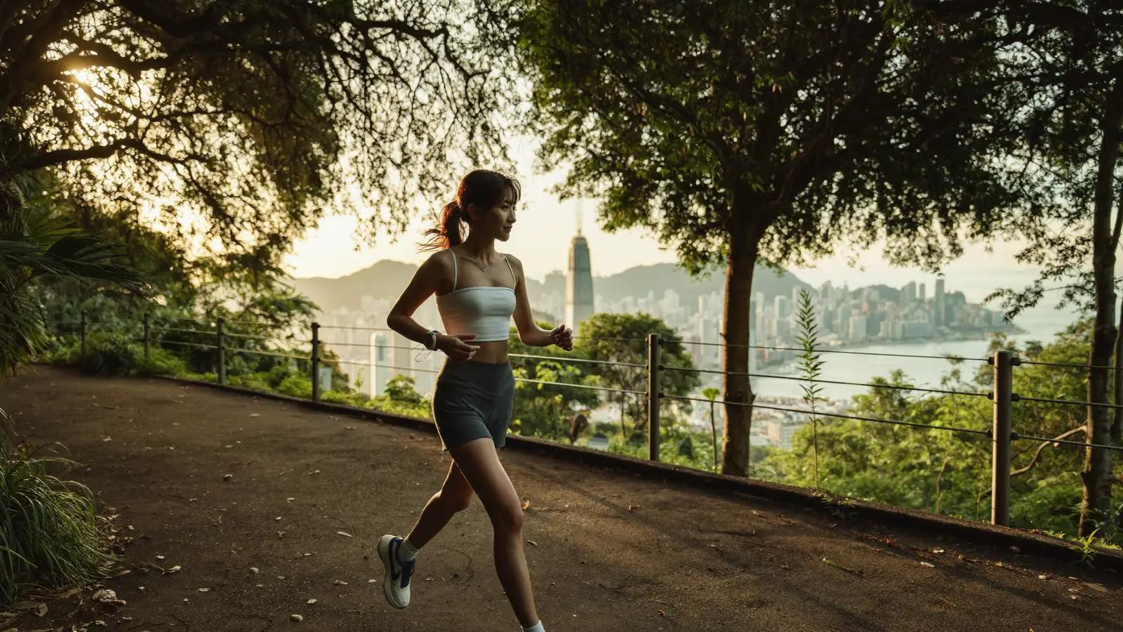
Illustration: Yum Cha Now, AI-generated. It sets the scene and is not a photograph of the venue.
For a city this dense, Hong Kong is a surprisingly brilliant place to run. Within minutes of the skyscrapers you can be pounding a flat, shaded fitness trail, looping the Peak with the whole harbour at your feet, or tracing the waterfront past the ferry piers. This 2026 guide maps six of the best running routes in Hong Kong — with distances, terrain, the nearest MTR and why each one is worth lacing up for.
In This Guide
Where are the best places to run in Hong Kong?
The six routes below are all free, public and reachable by MTR or a short bus ride. They range from a 600-metre floodlit loop for intervals to a leafy six-kilometre reservoir trail. In Hong Kong's heat and humidity, shade and a water fountain matter as much as the view — so we have flagged both.
1. Bowen Road (寶雲道)
The signature Hong Kong run. Bowen Road is a mostly car-free path carved into the hillside above Wan Chai, running roughly 4 km one-way on the flat with a leafy canopy and fitness stations along the way. Views open out over Central and Wan Chai. The only catch is the steep walk up Kennedy Road to reach it — treat that as your warm-up.
2. The Peak: Lugard & Harlech Loop (盧吉道/夏力道)
Circling Victoria Peak, the Lugard Road and Harlech Road loop is a gentle, near-flat 3.5 km with arguably the best views of any run in the city — the harbour and skyline on one side, lush greenery and the South Side on the other. It is loved by locals and visitors alike, so go early to beat the crowds and the midday sun.
3. Central and Western District Promenade (中西區海濱長廊)
Starting at Sun Yat Sen Memorial Park in Sai Ying Pun, this flat, traffic-free path follows the curve of Victoria Harbour past the ferry piers and Tamar Park, all the way to Golden Bauhinia Square in Wan Chai. It is the easiest, breeziest way to log a harbourside 3.5 km — perfect for beginners, and a fine cross-section of city life.
4. West Kowloon Art Park Waterfront (西九文化區海濱)
On the Kowloon side, the West Kowloon Art Park promenade offers a flat, open run of about 3 km with a front-row view of the Hong Kong Island skyline across the water. It is wide, grassy and family-friendly, with M+ and the Palace Museum as a backdrop. Come at golden hour for the best light over the harbour.
5. Victoria Park Jogging Track (維多利亞公園緩跑徑)
In the heart of Causeway Bay, Victoria Park has a flat 625-metre jogging loop ringed by greenery, with six fitness stations for pull-ups and dips. It is floodlit and busiest at dawn, when local runners and tai chi groups fill the park. Perfect for structured laps or intervals without leaving the city, and easy to reach from two MTR stations.
6. Tai Tam Reservoir Trail (大潭水塘)
When you want green over grey, the Tai Tam Reservoir trail winds about 6.5 km along wide, mostly paved paths through cool, wooded country park, past the historic Victorian dams and waterworks. The gentle contour makes it a joy to run at an easy pace. It is quieter than the city routes — ideal for a longer weekend effort. Carry water, as fountains are limited.
The six routes at a glance
Hong Kong running routes compared
| Route | Area | Distance | Terrain |
|---|---|---|---|
| Bowen Road | Mid-Levels | ~4 km one-way | Flat, shaded |
| Peak Loop | The Peak | ~3.5 km loop | Flat, scenic |
| C&W Promenade | Sai Ying Pun | ~3.5 km one-way | Flat waterfront |
| West Kowloon | West Kowloon | ~3 km | Flat promenade |
| Victoria Park | Causeway Bay | 625 m loop | Flat track |
| Tai Tam Reservoir | Tai Tam | ~6.5 km | Gentle trail |
*Distances are approximate; all routes are free and public. Verified July 2026. Always check weather and trail conditions before heading out.
When is the best time to run in Hong Kong?
Timing and heat management make or break a Hong Kong run. Here is how to do it right.
Beat the heat
From May to September it is hot and humid, so run early morning or after sunset, carry water, and favour shaded routes like Bowen Road or Tai Tam. Check the Hong Kong Observatory for the heat and rainstorm warnings before you head out.
The best running season
The sweet spot is October to March, when the air is cooler and drier — prime time for the Peak loop and the harbourfront. This is also race season, building up to the Standard Chartered Hong Kong Marathon in early 2027.
Recovery and cross-training
Log the miles, then recover well. Pair your runs with a session at one of the city's best climbing gyms or unwind at a top spa. Prefer two wheels on your rest day? See our guide to the best cycling routes.
Want more of the outdoors? Hong Kong is 70% countryside. Explore the city's best hikes and its best beaches for your next active day out.
Frequently Asked Questions
Lace up
Pick a route, dodge the midday heat and enjoy the view. Hong Kong's best running routes are free, scenic and never far from an MTR — the city is your track.